Purism sent me a tool gnss_test.py which gets a fix after ~120 secs as:
GPS 0.3
--------------------------------------
longitude      XX.62259400
latitude       XX.05272133
altitude (m)   563.77
accuracy       4.8
fix            3D
View sats
S24:31.0 S15:24.0 S13:30.0 S14:36.0 S23:20.0 S17:21.0 S05:21.0 S28:35.0
Solution sats
S24:31.0 S15:24.0 S13:30.0 S14:36.0
timestamp      2021-11-25 14:46:06.28
Fix time       1637851566.000
TTFF           120.5
(I deleted the real position with XX)
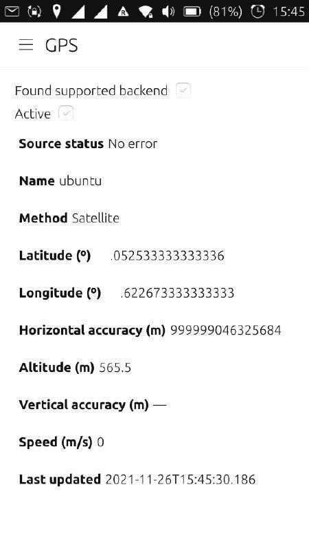
The values matches closely to what my UbuntuPhone E4.5 detects (in the pic the values in front of the decimal point are blanked-out):
I’m still struggling with a app Maps because even if the phone has a fix, the location shown in the map seems to be based on Wifi or cell towers.